Regional Map

Country Specific Map

Map of Suva, Fiji
Geography
Total Area: 18,274 Square Kilometers
Land Area: 18,274 Square Kilometers
Water Area: 0 Square Kilometers
Climate: Tropical marine, only with slight seasonal change.
Terrain: Mostly mountainous, formed by volcanic eruptions.
Lowest Elevation: Pacific Ocean 0 m
Highest Elevation: Tomanivi 1,324 m
Land Area: 18,274 Square Kilometers
Water Area: 0 Square Kilometers
Climate: Tropical marine, only with slight seasonal change.
Terrain: Mostly mountainous, formed by volcanic eruptions.
Lowest Elevation: Pacific Ocean 0 m
Highest Elevation: Tomanivi 1,324 m
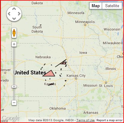
Size of Fiji Compared to the United States
Borders and Boundaries
Countries that Share a Border: None
Bodies of Water that Border the Island: Pacific Ocean
Total Distance of all Land Boundaries: 0 km
Total Distance of Coastline: 1,129 km
Bodies of Water that Border the Island: Pacific Ocean
Total Distance of all Land Boundaries: 0 km
Total Distance of Coastline: 1,129 km
